AOC and GRLI Project Maps
OMC Superfund Site Dredge
Shoreline Advance and Sand Accretion
Lake County Maps Online – Interactive geographic information system (GIS) mapping application with access to current and historical aerial photography and property, municipal and natural resources information. The application is a product of Lake County.
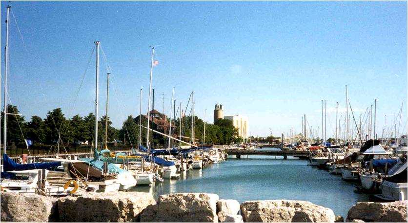
The Waukegan harbor CAG and the Waukegan Port District obtained funding to install an ADA Accessible Kayak/Canoe launch in Waukegan Harbor. This launch provides safe, easy, stable access to and from the water.